
File:Hyderabad OpenStreetMap.svg

Size of this PNG preview of this SVG file: 800 × 557 pixels. Other resolutions: 320 × 223 pixels | 640 × 445 pixels | 1,024 × 713 pixels | 1,280 × 891 pixels | 2,560 × 1,781 pixels | 868 × 604 pixels.
Original file (SVG file, nominally 868 × 604 pixels, file size: 11.77 MB)
| This is a file from the Wikimedia Commons. Information from its description page there is shown below. Commons is a freely licensed media file repository. You can help. |
Summary
| Description |
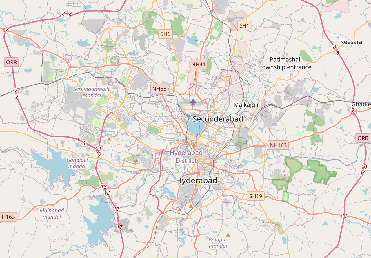
English: Map of Hyderabad
Geographic limits of the map:
|
| Date | |
| Source | http://www.openstreetmap.org |
| Author | OpenStreetMap contributors |
| Permission (Reusing this file) |
Cartography is licensed as CC-BY-SA (http://www.openstreetmap.org/copyright) |
Licensing
| This work contains information from OpenStreetMap, which is made available under the Open Database License (ODbL).
The ODbL does not require any particular license for maps produced from ODbL data. Prior to 1 August 2020, map tiles produced by the OpenStreetMap Foundation were licensed under the CC-BY-SA-2.0 license. Maps produced by other people may be subject to other licences. |
This file is licensed under the Creative Commons Attribution-Share Alike 2.0 Generic license.
- You are free:
- to share – to copy, distribute and transmit the work
- to remix – to adapt the work
- Under the following conditions:
- attribution – You must give appropriate credit, provide a link to the license, and indicate if changes were made. You may do so in any reasonable manner, but not in any way that suggests the licensor endorses you or your use.
- share alike – If you remix, transform, or build upon the material, you must distribute your contributions under the same or compatible license as the original.
File history
Click on a date/time to view the file as it appeared at that time.
| Date/Time | Thumbnail | Dimensions | User | Comment | |
|---|---|---|---|---|---|
| current | 04:17, 8 November 2023 | | 868 × 604 (11.77 MB) | Rupturestriker | Uploaded a work by OpenStreetMap from https://www.openstreetmap.org/#map=11/17.4113/78.4712 with UploadWizard |
File usage
The following pages on the English Wikipedia use this file (pages on other projects are not listed):
- Abids
- Begumpet metro station
- Begumpet railway station
- Chowmahalla Palace
- Falaknuma Palace
- Financial District, Hyderabad
- Government City College, Hyderabad
- Hyderabad
- Hyderabad Deccan railway station
- Kacheguda railway station
- Kings Colony, Shastripuram
- L. B. Nagar
- Lingampalli railway station
- Madhapur
- Madhapur metro station
- Osmania University
- Prakash Nagar metro station
- Rasoolpura metro station
- Secunderabad
- Secunderabad Junction railway station
- Telangana Secretariat
- University of Hyderabad
- User:Mouryan/sandbox1
- Module:Location map/data/India Hyderabad
- Module:Location map/data/India Hyderabad/doc
Global file usage
The following other wikis use this file:
- Usage on si.wikipedia.org
- Usage on ta.wikipedia.org